 GeoJSONic
Road trip · Mexico
Yucatán Discovery
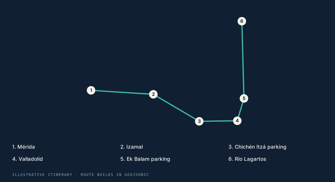
Start in Mérida, wander the towns of Izamal and Valladolid, and make time for Maya archaeological sites before reaching the coast at Río Lagartos.
6 stops~257 km / ~160 mi~4 hr 58 min in motion
Opening the map…
An ordered driving itinerary linking towns and archaeological-site access areas; GeoJSONic generates the route on your device. Admission and opening hours are separate. The route is generated on your device when you open the trip; the line here is an illustrative preview. Estimated time excludes stops.
Mérida → Río Lagartos
6 stops. Your pace.
No fixed travel dates. Follow the full itinerary or use it as your starting point.
- 01
Mérida
Start here - 02
Izamal
Along the way - 03
Chichén Itzá parking
Along the way - 04
Valladolid
Along the way - 05
Ek Balam parking
Along the way - 06
Río Lagartos
Finish here
- Open the tripWith the latest 1.3 build installed, tap “Open this trip in GeoJSONic,” or scan its QR code inside the app.
- Land on the globeYour trip loads and saves inside GeoJSONic. No Files app or Share sheet needed.
- Preview the first legExplore the route and make the journey yours. Scan again to reopen your saved trip.
Explore the region
Local tourism information to help make this itinerary your own.